


Product Details
+
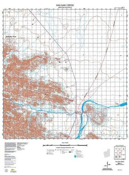
The WA Topo 50 series covers selected state wide areas at 1:50,000 scale where the level of feature density requires 1:50,000 scale mapping. Each sheet covers an approximate area of 15' longitude and 15' latitude which corresponds to approximately 25km by 25km at 10-20 metre contour intervals.
These maps show all natural features on the ground as well as developed features including roads, powerlines, urban areas, parks and plantations.
- Coverage: selected Statewide areas
- Scale: 1:50 000
- Currency: 2014
- Coordinates: MGA
- Datum: GDA94
- Projection: UTM
- Size: 810mm x 600mm
These maps are printed on demand at the chart and map shop - so they are always in stock and always available.

 : XB LED Headlights")

 CORNING CCH-01U")

 Caplets for Dogs 75mg")


